 Google is promoting the study of images taken by satellites to confront environmental degradation.
The fight against deforestation, malaria or illegal fishing has found a new ally in the study of satellite images, that organizations like Google are promoting in collaboration with NGOs, universities and other institutions.
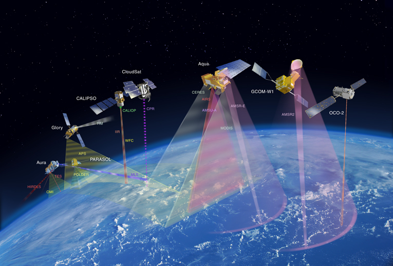
The person responsible for Google Earth Engine, the technology giant's satellite image processing platform, Dave Thau explained at the headquarters of the FAO in Rome, how they transform satellite data into maps that scientists then analyze to address environmental problems.
The task has the difficulty of freely accessing the planet's data provided by different satellites and allocating sufficient computing resources to store millions of images..
Fragmenting the images of a terrain into numerous parts and inserting the pixels of others taken previously in that same place, can be removed, for example, the clouds that prevent us from completely seeing the Earth's surface from space, Thau explained..
In that way, added, have managed to discover phenomena that occurred in the last thirty years such as the effect of deforestation in Mongolia or the urban growth of the city of Texas (United States).
With the contribution of researchers, non-governmental organizations and other actors have launched initiatives that allow you to observe the areas of greatest drought by area, agricultural use of water or arable land.
For now, The degree of precision of the data is being greater in limited areas, like the neighborhood of a residential area, and minor in large scale projects, Thau qualified.
What is difficult to see at ground level can appear more clearly by organizing the data globally and thus a Google project with the University of California in San Francisco has developed a map of malaria incidence in Swaziland.
According to the director of the team dedicated to developing the infrastructure of Google for humanitarian affairs, Brian Sullivan, They crossed the available data of the diagnosed cases and the environmental conditions in which the mosquitoes carrying the parasite that causes the disease live in order to locate the points of greatest risk and that, Therefore, need priority action.
In addition, Sullivan noted that have worked with indigenous people from the Suruí tribe in the Brazilian Amazon to ensure through satellite images that their lands are protected.
In this sense, said that Greater environmental surveillance has allowed them to avoid deforestation of more than five hundred hectares of jungle.
“The idea is to give them the tools to control economic activities”, the manager insisted, who also mentioned the possibility of visualizing the concentration of fishing exploitation in the Pacific Ocean by following the movement of vessels.
Tracking activities such as illegal fishing by satellite, usually difficult to control, pressure measures can then be taken to preserve the seas, he said.
On the other hand, the person responsible for Forests of the UN Food and Agriculture Organization (FAO) ,Danilo Mollicone indicated that since last year they have made open access tools for data collection and analysis available to the public..
Countries like Argentina or Brazil are already using this technology, as well as more than seven hundred people around the world whom FAO is helping to get the best out of programs like Google Earth.